 Photo Caption and Credits
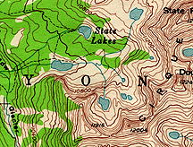
Laboratory exercises in the utilization of topographic maps, aerial photographs, and various remote sensing techniques. Field trips to local areas of interest.
COURSE FORMAT: Field Work Laboratory
Level: UG Credit: 0.50
Prerequisites: E&ES101
Last Updated on MAR-03-1998
Source is being researched.
Copyright Wesleyan University, Middletown, Connecticut, 06459